The North Sea infrastructure
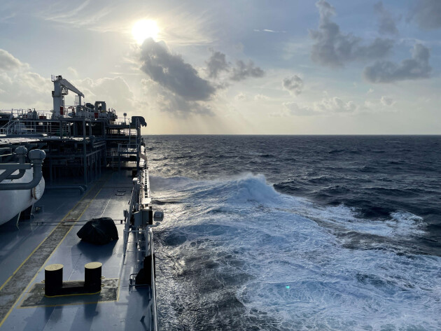
The shipping lanes in the North Sea are the lifeblood of the Dutch economy. In the spatial (re)arrangement of the North Sea, the Dutch government must ensure that ships can continue to navigate these shipping lanes safely and smoothly.

What is this about?
The North Sea offers an ocean of possibilities. It looks like a construction site for the development of offshore infrastructure: wind farms, islands,
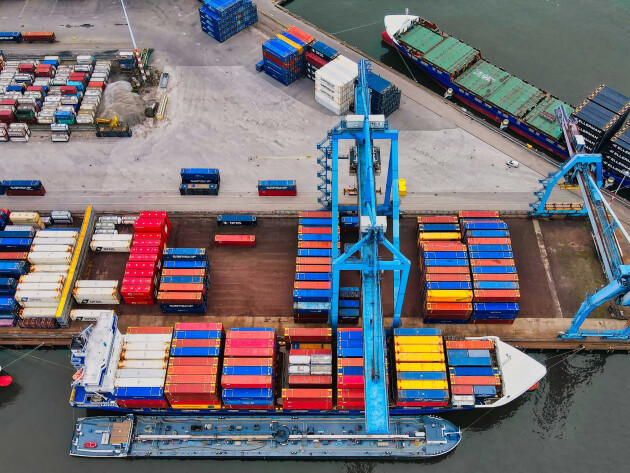
The North Sea is already being used for a wide range of purposes and free space in the North Sea is becomming more and more scarce. For example, there are anually 250,000 sailings through the Dutch part of the North Sea. 50,000 of these sailings include a port call in the Netherlands. This results in the Dutch waters being part of the busiest shipping areas in the world. Shipping is an important lifeline of the Dutch economy. A large number of ships calling at the Dutch port make use of the
The Netherlands is additionally working towards 21 GW of offshore wind energy production by 2030, and possibly 50 GW by 2040 with the ultimate goal to reach 70 GW by 2050. This means that many more offshore wind farms will be build in the Dutch part of the North Sea.
In short, the North Sea is a crowded place, and activities are likely to increase in the near future.
How should we solve it?
On June 19, 2020, the “North Sea Agreement” was presented to the House of Representatives. It does not include any additional agreements for shipping. The proposal does include the basic principle for the shipping industry that “when areas at sea are designated for a certain purpose, safety and accessibility for shipping must be guaranteed. When new activities cause safety risks, these risks must be mitigated. The necessary measures for this must be realized before commissioning."
The KVNR urges the Dutch government to ensure that ships can continue to navigate the North Sea safely and efficiently during the discussions and planning regarding the spatial reallocation of the area.
The KVNR suggest that the following measurements must be taken to guarantee safe navigation of the Dutch North Sea:
Provide VTS coverage
Provide assistance vessels at wind farms
Ensure a good connection with Germany and Denmark
Keep in mind in advance of increasing traffic through the Northeast Passage
Adopt Safety Board's recommendations
Provide VTS coverage
All Dutch wind farms, and if possible the entire Dutch continental shelf, should be brought under (radar) coverage of a
Provide assistance vessels at wind farms
Assistance vessels should be moored at each wind farm to thwart a collision of a ship with wind turbines in case of emergency.
Ensure a good connection with Germany and Denmark
The Dutch government must, in consultation with Germany and Denmark, ensure that the Dutch shipping routing measures in the north east of the UNESCO Wadden area are alligned with the (future) German and Danish measures.
It must be avoided that ships have to make dangerous sharp manoeuvres or collide with other shipping traffic. There must be an avoidable restriction area “clearway” above and in line with the “West Friesland” traffic separation scheme where no wind farms are built.
Any adjustment of shipping routes in the Dutch
Keep in mind in advance of increasing traffic through the Northeast Passage
The Northeast Passage north of Norway and Russia is becoming more accessible to ocean-going ships for an increasingly longer period throughout the year. This passage reduces the number of nautical miles for ships sailing from the far east to the Netherlands as compared to the Indian Ocean route.
The Northeast Passage will become increasingly popular for ships that can navigate these waters in a safe and environmentally friendly way. It is important to anticipate such developments while designing layout plans of the future Dutch North Sea now in order to avoid problems in the future.
Adopt Safety Board's recommendations
For the report "Compromise on room to Manoeuvre" the Dutch Safety Board (OvV) has commissioned Marin to simulate several situations. The results show that the width of the buffer zone between the traffic lanes and the wind farms will not be sufficient for all ships under all realistic weather conditions. For some ships it can be impossible to "turn around" under certain conditions.
The width of the buffer zone is currently based on a 'normative ship' (400 meters). The findings of the OvV report demonstrate that not only the ship's length but also the draught in relation to the depth of the water and the wind catch of the ship must be considered.
This confirms the KVNR's plea that the width of the buffer zone should be viewed as minimum distances that do not account for wind or the effects of shallow water.
The KVNR therefore endorses the Safety Board's recommendation that in determining the width of the buffer zone:
an internationally shared view on how shipping can safely move around fixed objects is crucial;
the international frameworks for this should be discussed through the International Maritime Organization (IMO) and adjusted where necessary.
The KVNR calls on the Ministry of Infrastructure and Water Management to adopt these recommendations.

State of Affairs - July 22, 2025
The Schoof administration's coalition program states that “to ensure safety of navigation, the government conducts risk analyses when building offshore wind farms, in line with the recommendations of the Dutch Safety Board.”